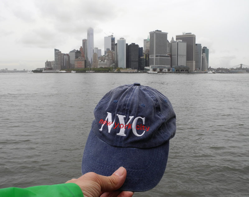
So there I was, standing on the north shore of Governors Island and looking across the water to the tip of Lower Manhattan. It seemed so close. Even though I knew that the original shoreline on September 12, 1609 (when Henry Hudson sailed right past where I was standing) was about a block inland, I figured that it was about 4-5 bow shots across. That’s assuming I was a Munsee-speaking, Algonquin native in 1609 calculating the distance—that’s how they did it back then.
I soon ran into a National Park Ranger near Castle Williams and started chatting. He said the distance to Manhattan was under a mile. I mentioned my four-bow-shot theory. He studied me for a moment and smiled. “You’re the first person to ever say that.” He winked. “But I’ve been wondering the same thing for years. I think it’s five bow shots across.” Bingo.
So that was just one of the many encounters and revelations I experienced on my last research trip to NYC in September. The goal was to help wrap up the manuscript of my first book (1609) in the series about the birth of New York City (with a special focus on Manhattan). It was a short but exhausting trip. So much to see, so little time. And only so much that my poor blistered feet could take!
Here are just a few highlights from the week’s visit:
“New York, New York, a helluva town.
The Bronx is up, but the Battery’s down.
The people ride in a hole in the groun’.
New York, New York, it’s a helluva town!!”
I’ve already posted about the great Untapped Cities Walking Tour I took on my first full day in Manhattan. The key word here is walking. I did a lot of it. And in my case, because I was staying in the Union Square area just above the East Village, I was always walking to get to the next subway station for traveling uptown or downtown, which I was doing constantly. I was a man in motion.
One of my primary objectives on this trip was to visit key locations in history that figured heavily into my story. And one of those was the summer home of the Manahate band (Indian group) at a place usually referred to as Werpoes (and later: the Collect Pond). I found it just north of City Hall in Lower Manhattan. But what was once a magnificent, five-acre expanse of fresh water surrounded by hills was now a tiny park smothered by concrete and tall buildings.
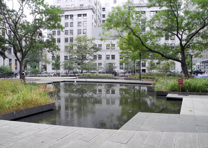
At least they kept some memory of this important location in the history of New York City. (Note: I’ll go into more detail about this spot and what I did there in a later post.)
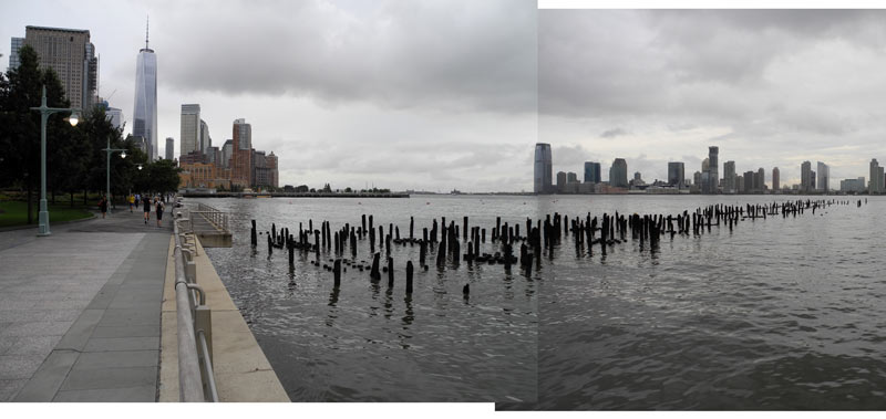
Another place I wanted to see was Ishpatena. This was a point on Lower Manhattan’s westside shoreline (on the Hudson River, just above Canal Street) where there was originally a long, narrow sand beach. And this is the beach where the main characters in my 1609 book first meet. And this is what it looks like now:
Another famous native settlement site along the river was at Sapokanikan, which was roughly between Gansevoort and 14th Streets. I walked up there (more walking!) to see it, but also to see the modern High Line, which is the famous elevated-train-track now converted to an urban park.
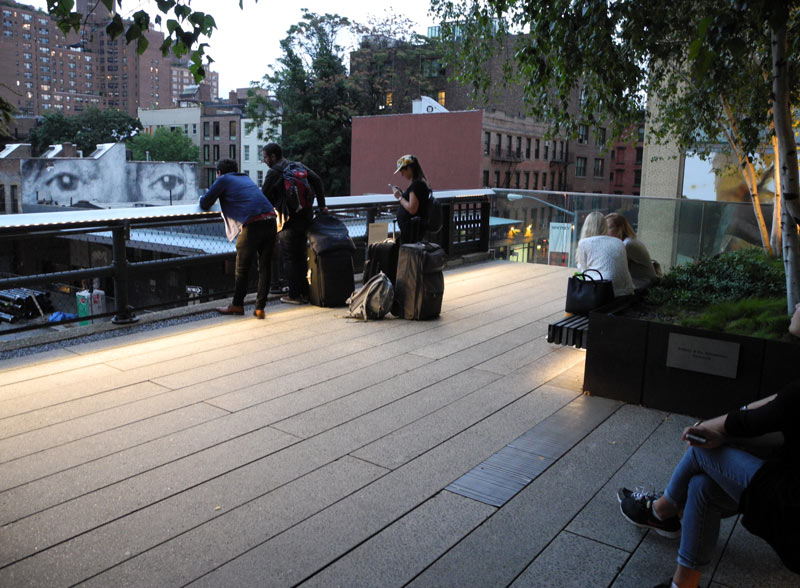
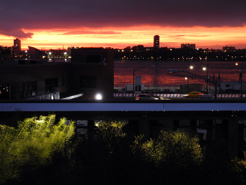
And here’s a sunset view of the river (and New Jersey) from the elevated High Line:
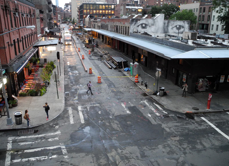
Turning around, here’s the opposite view. Brings you back to reality, doesn’t it?…
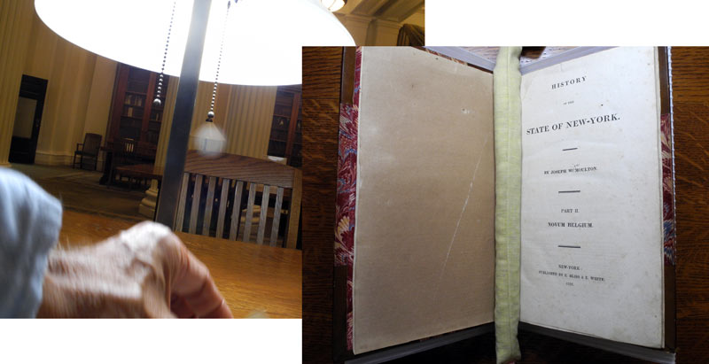
On one day, I had a prearranged meeting in Manhattan at the New-York Historical Society, the venerable museum, library, and repository of much of NYC’s history. I met with the Director of the main library, and we had a good talk about my story and several relevant points of history. Then I spent a few hours studying documents, books, and maps in the library. These were important historical artifacts, some hundreds of years old, that I had only read about. And here they were: waiting on a table for my inspection. It was thrilling.
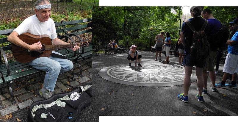
After I left the Historical Society, I walked down Central Park West to a favorite stopping point whenever I’m in NYC: John Lennon’s Memorial site at Strawberry Fields just inside Central Park at 72nd Street. There’s usually someone strumming and singing Beatles tunes on one of the benches that surround the Imagine mosaic. It’s touristy, for sure. But I always get emotional at this spot. On this day, I sat down next to “Strawberry James” and harmonized with his singing of Lennon’s signature song.
The next day took me far “uptown.” To the Bronx, mentioned in the song lyrics above. It was a long subway ride off the island to the famous Bronx Zoo and the New York Botanical Garden next door. And plenty of walking along the way!
First, I had a meeting with Dr. Eric Sanderson at his office in Zoo. Eric, a Senior Conservation Ecologist, is the head of The Mannahatta Project and its continuation, The Welikia Project, all housed within the Wildlife Conservation Society. The amazing “virgin Manhattan” images you’ll see on my book covers and on my various book promotions are licensed from them. And it was a wonderful meeting. Eric showed me his way of organizing all the data they use to create the 3D modeling of how things may have looked on September 12, 1609. At exactly 2:00 pm. Why this date and time? Because this is when they figure Henry Hudson sailed past the tip of Manhattan. Sailed right past where I was standing in the photo at top. Spooky!
We also went over some of my story’s events and locations, and he both agreed and pointed out alternatives based on the known history. I was scribbling notes as fast as I could.
Eric then walked me out the northern Zoo gate and showed me a likely spot for another key location in my story: the winter home of the Manahate band. Locating this was another one of my trip’s goals.
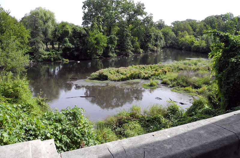
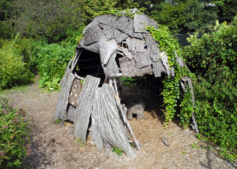
After leaving the Zoo, I went to the adjacent New York Botanical Garden, another outstanding NYC institution. And I had a specific target in mind: The Howell Family Garden, which holds a small plot of land allocated to showing how the native people in the area lived for hundreds of years before the coming of the Europeans.
I was looking for the reconstructed wigwam that was the basic native housing unit, and I found it. But it was, sadly, in need of some serious repair, which I was told would be coming. And just to the side was a planting of the famous “3 Sisters” crops (corn, beans, squash) that had nourished native communities for centuries. All of this is important for my 1609 story.
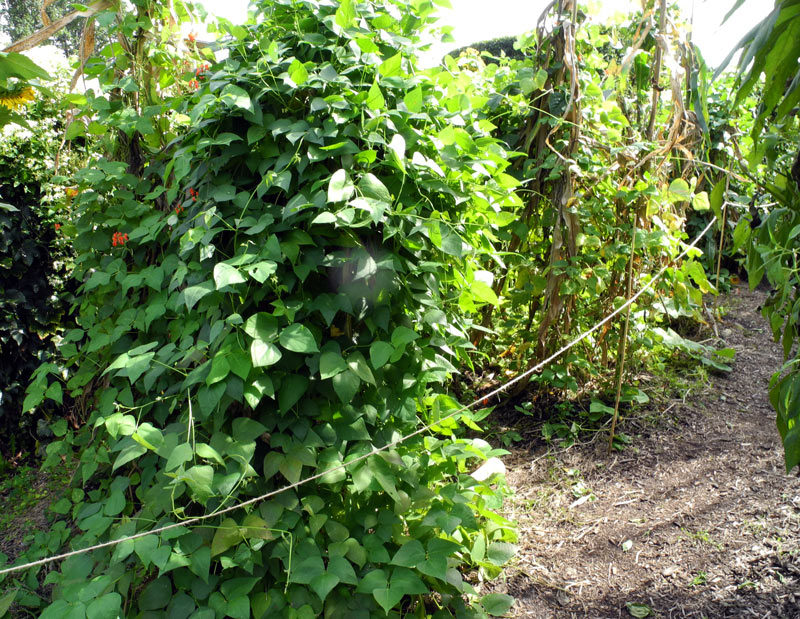
The crop plantings were not exactly accurate, but I was told that was due to an overpopulation of squirrels that would have been kept under control with natural predators in the old days. Proof that everything is interconnected; you change one thing (squirrels), and everything else changes.
———-
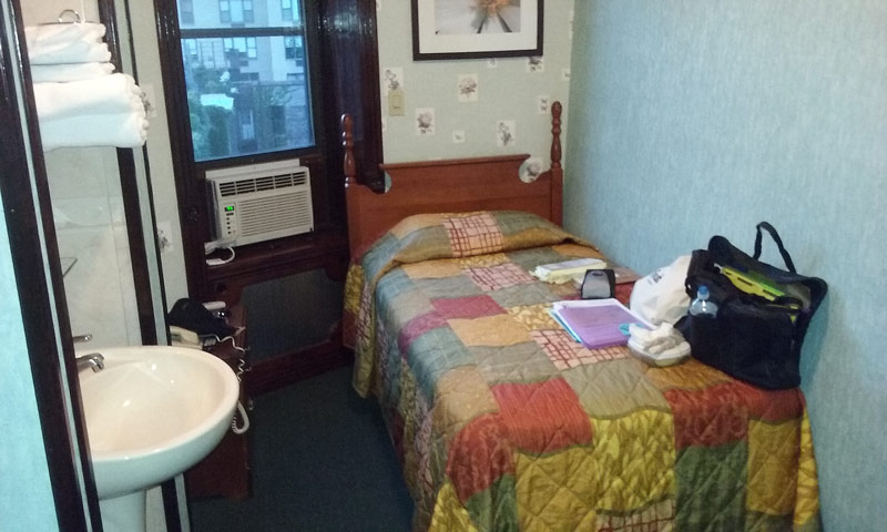
So it was a valuable—albeit tiring—research trip. And at the end of each day, I walked myself—sweaty and drained, but content—back to my little European-style hotel (meaning: shared bathrooms), kicked off my shoes, and laid my weary body on a tiny bed and fell fast asleep.
Now jump forward a month or so in time. With all my digital notes transcribed and updates made to the book manuscript, all I need to do now is put the finishing touches on the book draft and book description, do the book formatting, lock down the cover, and start prepping my promotions. And then, release 1609 to the world. And that’s coming next.

Leave a Reply